
MAGNETOMETRY
Find Oil Wells, Locate Underground Utilities & Map Mineral Deposits
Magnetometry drone surveys offer a fast, accurate way to detect and map subsurface features by measuring subtle variations in the Earth’s magnetic field. This technology enables reliable identification of abandoned oil wells, underground utilities, and mineralized structures with minimal surface disruption and high resolution results.
Drone surveys are more cost effective than traditional manned aircraft surveys due to lower fuel costs, fewer flight hours, reduced downtime, and higher production rates achieved through multi drone operations.
Our licensed pilots can deploy multiple drones to a single survey site and operate around the clock, including in weather conditions that typically ground manned aircraft.
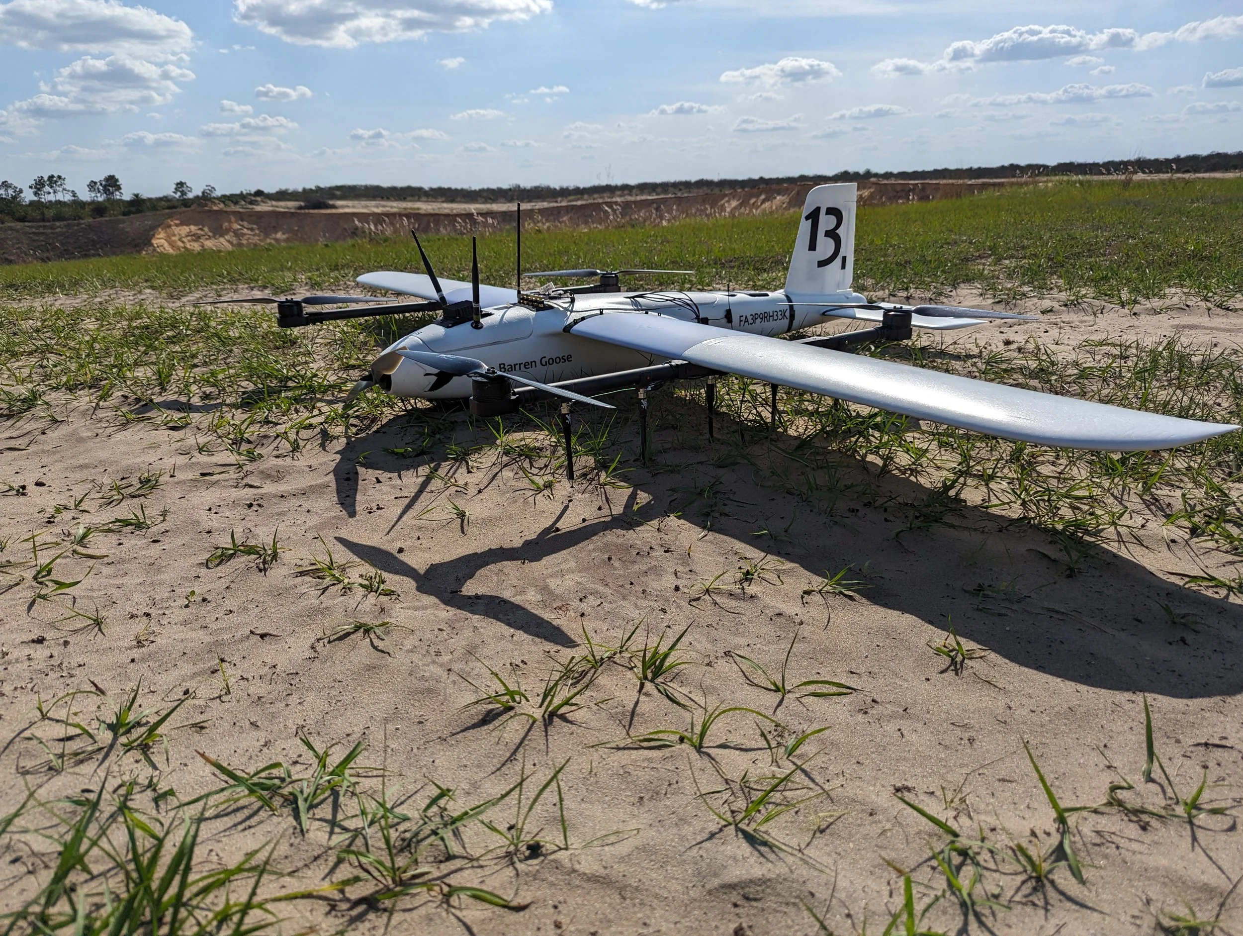
Using the industry’s fastest fixed wing magnetometry UAV, the MagPlane, our clients can efficiently detect ferrous anomalies, underground utilities, abandoned oil wells, and mineral deposits.